| T h e P a n g e a M o d e l |
 |
| T h e P a n g e a M o d e l |
 |
| > Home | [login] |
 Pangea is a local to global, spatial multi-scale, multimedia environmental fate and transport, and multi-pathways population exposure framework for modeling chemical substances. It was originally built to address complex problems such as the evaluation and comparison of the local to global impacts of pollutants emissions on populations and on ecosystems.
Pangea targets a niche of evaluative models, which are models suitable for the fast evaluation of thousands of pollutants in various contexts. Modeling the fine details of (fully coupled) multimedia fate and transport requires what is commonly known as multi-physics models. These models are, however, data and computation intensive, and they generally cover only a limited spatial extent. Pangea imposes environmental and exposure processes to be described by first order equations/models. This limits the maximum resolution to scales for which 2nd order processes can be neglected, but provides a simple and consistent framework that simplifies the coupling between "process models" (all environmental models become structurally compatible). This approach places Pangea at a mid-point between fast generic evaluative models or low spatial resolution/nested models like USEtox™, complex atmospheric chemical transport models (CTMs), and multi-physics models.
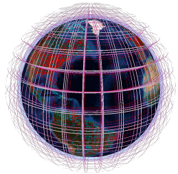
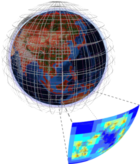
Pangea v1.x was designed around the coupling of a Python-based GIS engine using the ESRI/ArcGIS™ geoprocessor and a MATLAB-based computation engine. Pangea v2.x is migrating towards a MATLAB™ only design (in process). The coupling of a GIS and a computation engine makes Pangea flexible: it takes less than 20 minutes for building project-specific global 3D multi-scale grids and for projecting geo-referenced data onto them. Simulations then take only a few seconds per substance to get environmental concentrations and populations exposure at steady-state. Exporting results (maps, figures, etc) can then take up to a few hours.
As a research model, Pangea is constantly evolving. It is currently not officially distributed, but is shared in collaborative projects.